


Mont saint Michel

papajp
User

Length
3 km

Max alt
11 m

Uphill gradient
12 m
Km-Effort
3.2 km

Min alt
4 m

Downhill gradient
15 m
Boucle
No
Creation date :
2025-06-26 13:40:57.0
Updated on :
2025-06-26 14:33:58.316
52m
Difficulty : Unknown

FREE GPS app for hiking
 SityTrail
IGN / Geographical institutes
SityTrail Plus
The world is yours!
About
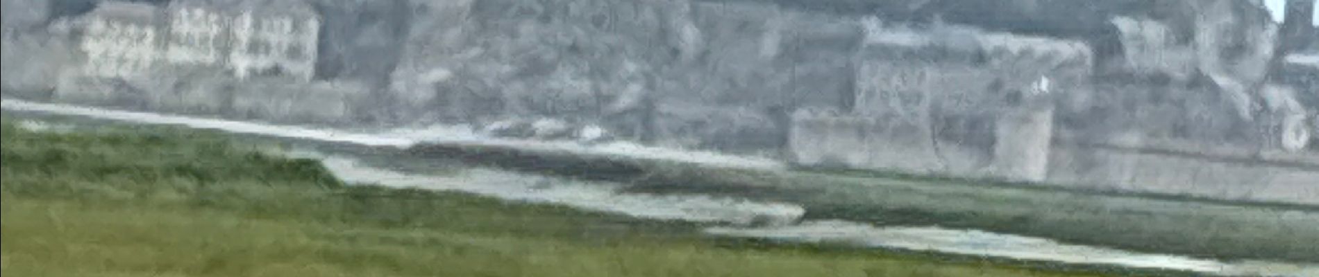
Trail Walking of 3 km to be discovered at Normandy, Manche, Le Mont-Saint-Michel. This trail is proposed by papajp.
Photos


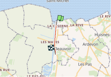
Positioning
Country:
France
Region :
Normandy
Department/Province :
Manche
Municipality :
Le Mont-Saint-Michel
Location:
Unknown
Start:(Dec)
Start:(UTM)
609698 ; 5385757 (30U) N.
Comments